
The latest WFL Surf Forecast located below.
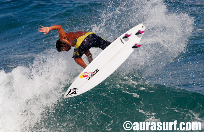
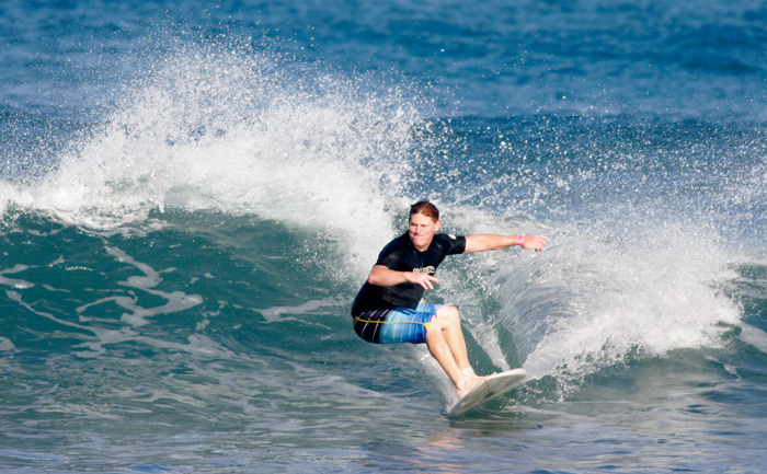
A lot of us gulf-coasters used to stay at Rancho Coral in Esterillos Oeste when we made our trips to Costa Rica back in the day. This little ripping grom was there. This is little Carlos Muñoz (not so little anymore) in PR for the ASPR contest this weekend. He was surfing really good just blowing up at Pools this morning. All Photos: Micah Weaver.

Noah Schweizer from NSB killing it backside down by Spanish Wall.
Shredding the bowl.

NW Swell Day 1
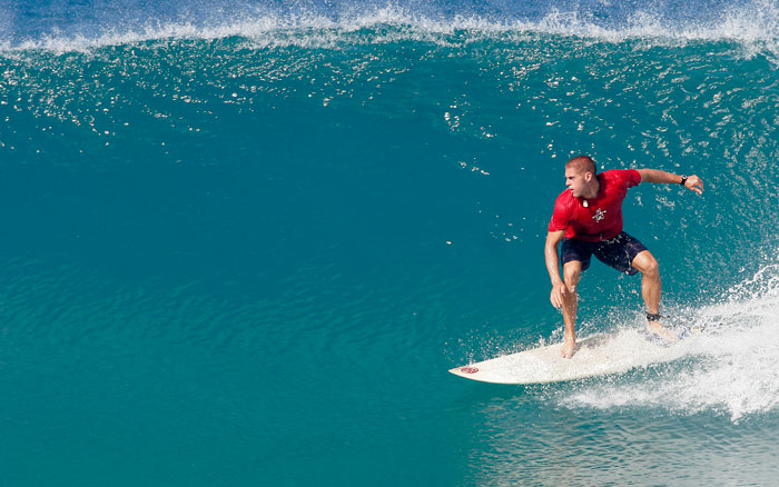
Parker Coffin from Santa Barbara.
Radical.
Monday WFL Surf Outlook: 2 scenarios to talk about as we begin the week in the grand quest for our next surf. 1. The weaker slower system that only provides a brief 36hr window of waves or 2. A stronger, faster system that could provide between 48 to 72hrs of waves. I’m going with the latter because all the ear marks are there, even the NWS is hinting this system is going to be stronger than currently forecast with a chance for severe WX and tornadoes. In that scenario the low is powering up on Thursday and the surf comes up with a ridable wave in the afternoon on Thursday from strong SW pull as the storm approaches. We all agree Friday is the big day. The big blow. Yeah chunky and onshore, cool… But will there be a clean-up Saturday am? Some chest high barrels with offshore winds? That is the question will will be trying to solve this week as we get close to wavedom. Check back on Tuesday as the system gets closer.
Thursday PM: Chance for knee to waist high choppy SW wind waves late in the day at best south facing beaches.
Friday Chest to head high choppy, chunky surf at cold front spots with gusty NW winds.
Saturday Waist high glassy leftovers with NE winds at the best cold front/groundswell spots.
Monday Morning Discussion Dude from the NWS Ruskin: THE DEVELOPMENT AND PROGRESS OF THIS SYSTEM WILL BE WORTH WATCHING AS CURRENT MODEL SOLUTIONS BRING VERY FAVORABLE DYNAMICS INTO THE PENINSULA OF FLORIDA. A HEALTHY LOW LEVEL JET…AN 110-120 KNOT UPPER LEVEL JET…PLENTY OF MOISTURE…AND A 500 MB TROUGH DIGGING INTO A LARGE PORTION OF THE STATE ARE ALL INGREDIENTS PROVIDING FOR POTENTIAL SEVERE WEATHER ON WEDNESDAY NIGHT INTO EARLY FRIDAY. THE FORECAST CHALLENGE IS WHETHER THE INGREDIENTS WILL BE PRESENT TOGETHER TO CREATE STRONG TO SEVERE STORMS.
CURRENTLY…IT IS VERY DIFFICULT TO PINPOINT STORM MODE AND TIMING…BUT CLIMATOLOGICALLY A SYSTEM LIKE THE ONE FORECAST COULD PRODUCE A STRONG SQUALL LINE THIS TIME OF YEAR…WITH POTENTIALLY SOME EMBEDDED TORNADIC ACTIVITY…THAT COULD BRING A WIND THREAT TO THE AREA. PRE-FRONTAL SUPERCELLS CANNOT BE RULED OUT…BRINGING HAIL
AND WIND THREATS TO THE AREA.
Caribe Heads-up: Solid swell on the way for Monday 3/3. Another pulse Wednesday and another Saturday so lots on the board finally as the waves in PR are about to turn on.
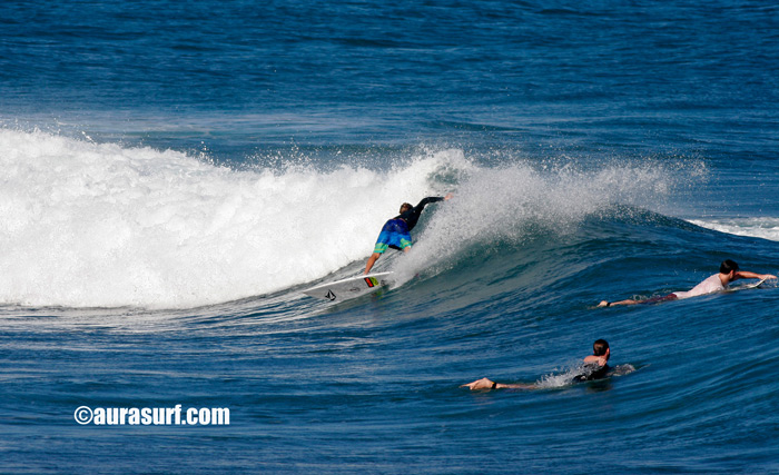
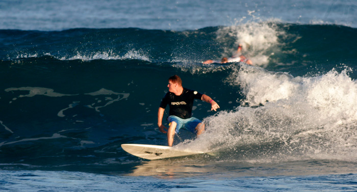
David Gaylord from St Petersburg scored some fun waves in PR last week. All photos: M-Dub.

Sarasota Crew in PR

This is the Sarasota Crew with some shots from their PR adventure. They got a good week of waves. One of the best of the winter. Lots of surf on the way for the Caribe in March.
Compound Surfer Owen Weaver.

Steve Richter.
Jason Romine

Joey Broz!

Josh Cady

Stevie!
Bulatowicz Surfboards 727-525-4463.
