Wednesday 8/14 Ernesto/EC/PR/Tortola Tropics Wave Outlook Below 9am:
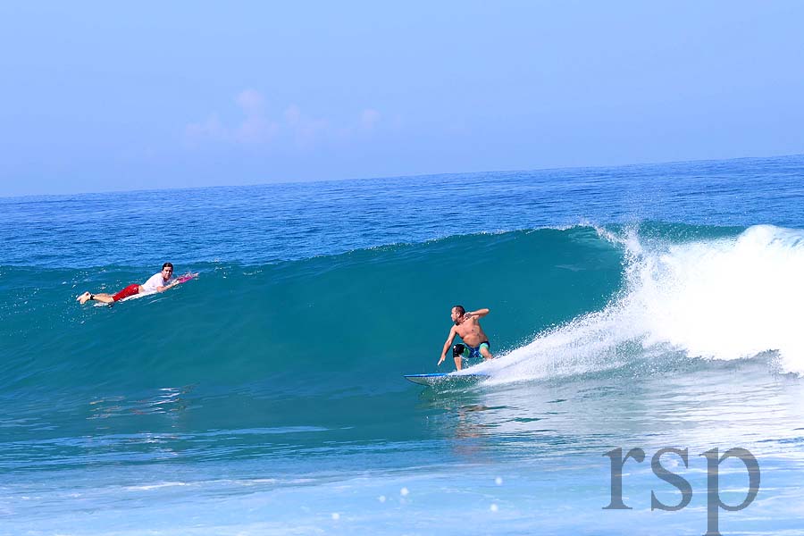
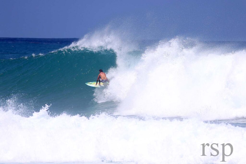
Wednesday Ernesto Report from NW PR 9am: My wife woke up at 8:30 this morning and said Ernesto is the best hurricane ever… It’s so dark out that it allowed us to sleep in… just a stormy, cloudy day here winds are 15 to 20 out of the southwest. We still have power and internet! there is a train of flooding storms over Ponce this morning and that still could train over us sometime today so we’re not totally out of the woods yet as far as flooding rains go. So for the Gulf of Mexico things looks super quiet, but Ernesto now is forecast to become a major hurricane, taking a slow track towards Canada, a really good set up for East Coast hurricane swell. the problem is the wind will be on shore on the East Coast over the next few days… but it looks like by Sunday morning and especially into Monday and Tuesday, a trough will set up bringing offshore winds to the East Coast of Florida. I know the drive is a pain in the neck, but it could be some good waves over there, north of the Cape especially the wind looks more offshore. so start planning now if that floats your boat because the gulf looks really calm for the almost the rest of August while the Atlantic is being gifted with early season, strong, hurricane swell… Down here I feel very fortunate, like we dodged a bullet… I was watching the radar last night, I really thought, you heard my prediction- that it was going to go into Yabucoa and the Southeast PR, you know crossing from the Caribbean into the Atlantic. Instead it passed right over top of Tórtola, passed right over top of Road Town, (you been there? Great surf trip mid winter)… I have a good friend there(more below)…
Shout out to Tortola, thanks for taking the bullet. So in the end that trough that’s coming off the East Coast of the United States is way out of season strong for mid August! Are you kidding me?! especially on such a hot summer, how did a cold front make it through Georgia?! This is the same front that lifted Ernie up and saved Puerto Rico from taking the storm on the head. Also, the Sahara Air Layer out in the ocean is what kept Ernie from becoming a hurricane much earlier… so many factors there saved Puerto Rico for which I’m so grateful for this morning! We will probably get some 2 to 3 foot swell with South winds over the next few days. I have not surfed in a month so I’m stoked on that. You guys have a great day and I hope you can get your surf-mobiles revved up and make it to the East Coast next week. Life is short, pile your kids in the car, drive safe and go surf!!
Thanks to everyone who contacted me for Julie’s cleaning business. She had a job lined up and then it got slow. I really appreciate it. She wanted a fresh start in Florida so she moved to St Pete last month after spending 13 years in PR… She’s a great kid and a hard worker. I know she will succeed in whatever she does!
Monday WFL/PTC5/EC take 7am: Good morning, the models have gone crazy and the latest American run shows the storm now south of PR and not going to the Virgin Islands. Meanwhile, the Euro refuses to believe and keeps this a weak tropical depression running over PR… On satellite this morning 98L looks a little better but it’s a split system. I can see two spins, one in the northern convection, and then the bigger spin of the entire complex spinning so the models are just completely confused. It’s crazy that 48 hours away from a possible landfall in the islands no one knows what’s gonna happen with this thing except that it’s going to strengthen. So Virgin Islands, Puerto Rico or DR or all of them? To complicate matters further in the extended, the Euro shows a full on strong hurricane in 3 to 4 days north of the islands headed for the Bermuda area, meanwhile the American model shows two systems now splitting in the Atlantic and heading north so I don’t know how you just trust these models. No one goes by climatology, just believe whatever the models are spitting out at the time when this has not even formed yet so it’s impossible for the models to have the data they need to make a good call. The NHC is sticking with what they had last night but I expect that to change… So looking at climatology, looking at the satellite real time reality- This thing is barreling right for the islands, it’s not very far away and there’s a trough coming off the United States but it doesn’t look strong to me. You can barely see it on satellite. It’s early August! How is that going to dig this storm out? Maybe it will eventually but not in time for the storm to miss, or at least clip the Greater Antilles so that’s what I’m expecting. I’m still expecting a PR landfall, strong tropical storm storm or category one hurricane at the most on Wednesday. After that it’s a pretty sure bet it heads north into the Atlantic giving the East Coast some swell and that’s where we come in for you guys: It looks like maybe offshore winds on the East Coast on the right tide and time into Thursday. But after Thursday the winds go onshore so your call, you will have to keep an eye on that East Coast surf forecast if you wanted to go over there and get some Ernie swell. That’s all I got for you today. Summary: The models are crazy. Have a great day. Don’t believe what the models are telling you and down here I’m probably gonna board up a little bit at least the balcony that’s exposed and get ready for no electricity for a couple days so my reports may be spotty. Bottom line for WFL/the Gulf of Mexico: There is nothing going on, completely calm, waves are less than 1 foot and nothing on the horizon at this moment but an active season awaits. Thanks for checking in. I’ll try and update tomorrow. Maybe by Wednesday, might lose power so if I’m not posting up you know what’s going on, peace out…
Big News: My good buddy Mo has been working on a film about surfing and kiteboarding in St Pete! Here is the link to all the info about the premiere party September 5th! Home Town Hype
Details by Diaco updated 8/8 For best south swell spots. St Pete will probably be smaller.
Thursday 8/1 calm.
Friday 8/2 calm.
Saturday 8/3 calm, watching hurricane alley.
Sunday 8/4 building south waves, waist to head high high range at south swell spots, E winds, going off between squalls…
Monday 8/5 SW wind waves, waist to shoulder high and choppy.
Tuesday 8/6 W wind waves waist high, choppy.
Wednesday 8/7 SW wind waves knee to thigh, choppy.
Thursday 8/8 1ft west wind waves.
Friday 8/9 1-2ft west wind waves PM, choppy.
Saturday 8/10 1ft west wind waves.
Sunday 8/11 Calm, no waves are expected this week.